Skeie 5
Skeie 5 (Stavanger) had 389 residents on 1 January 2026. 5% of residents were 67 or over, against 14% across the municipality, and 21% were under 16. From the area’s service centre, 152 everyday shops and services are within a 15-minute walk. The population has fallen by 5.4% since 2016.
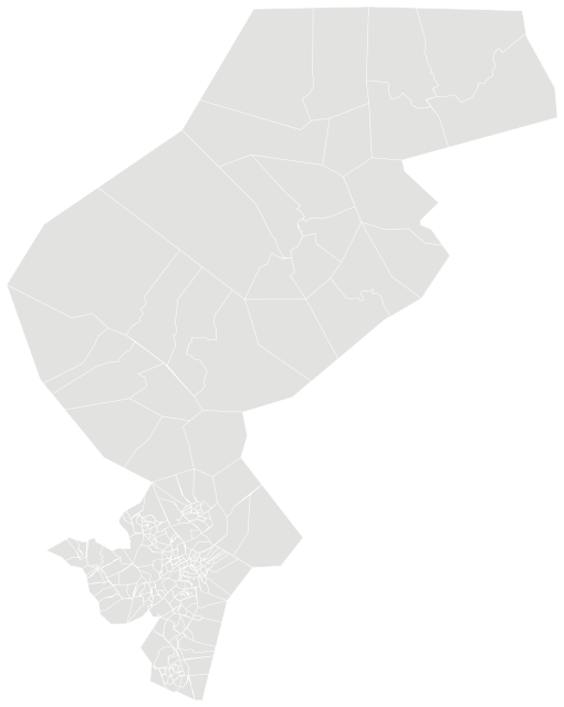

Sources: Statistics Norway (SSB), StatBank (CC BY 4.0) · © Norwegian Mapping Authority, basic statistical units (CC BY 4.0) · © OpenStreetMap contributors (ODbL)
People.
Age on 1 January 2026, next to the figure for Stavanger.
Population on 1 January
Basic statistical units (grunnkretser) are Statistics Norway’s smallest fixed areas. They usually follow housing estates, parts of towns and rural communities and have a few hundred residents. Income, house prices and education are not published for them; figures for the whole municipality are shown below.
Source: Statistics Norway (SSB), StatBank (CC BY 4.0)
The whole municipality.
Figures for Stavanger as a whole.
Source: Statistics Norway (SSB), StatBank (CC BY 4.0)
Everyday life.
152 everyday shops and services within a 15-minute walk; 22% green space within 500 metres.
Services and green space are measured from each area’s service centre: the point inside it with the most shops and services within 500 metres. District, municipal and county figures are averages weighted by population.
Source: © OpenStreetMap contributors (ODbL). Within one kilometre.
The neighbourhood in figures.
Skeie 5 and the nearest neighbourhoods in Stavanger, side by side. Colour shows where each sits among the others in the table.
| Neighbourhood | Residents | 67+ | Under 16 | Per km² | Green 500 m | Services 15 min |
|---|---|---|---|---|---|---|
| Austbø 2 | 1,545 | 11% | 24% | 3,962 | 7% | 125 |
| Austbø 3 | 197 | 0% | 31% | 1,970 | 19% | 148 |
| Austbø 4 | 221 | 13% | 11% | 3,683 | 14% | 146 |
| Austbø 5 | 143 | 18% | 14% | 2,043 | 12% | 136 |
| Bjørnøy-Roaldsøy-Ormøy-Steinsøy | 1,228 | 16% | 19% | 1,889 | 5% | 45 |
| Buøy 1 | 672 | 9% | 23% | 3,200 | 7% | 85 |
| Buøy 2 | 626 | 9% | 20% | 869 | 9% | 113 |
| Engøy | 533 | 15% | 13% | 2,961 | 9% | 102 |
| Skeie 5 | 389 | 5% | 21% | 3,536 | 22% | 152 |
Sources: Statistics Norway (SSB), StatBank (CC BY 4.0) · © OpenStreetMap contributors (ODbL)
More neighbourhoods in Hundvåg.