The evidence behind every address.
Coverage.
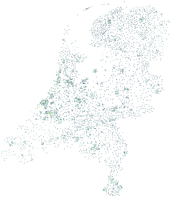
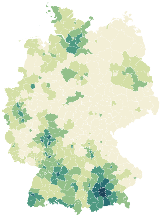
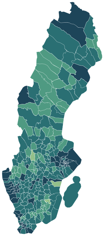
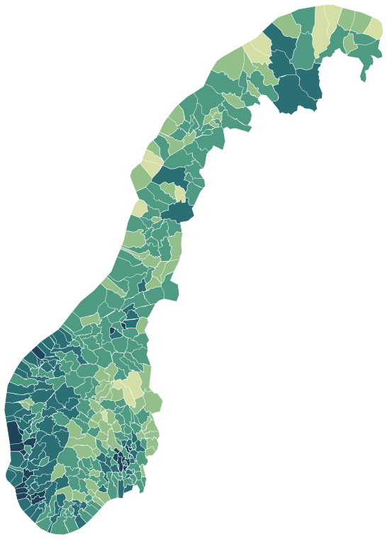
Each country is built from its own statistics office and published in its own language as well as English. Choose a country for its regions and every neighbourhood within them.
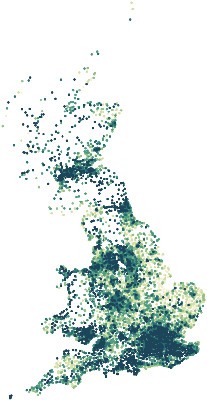
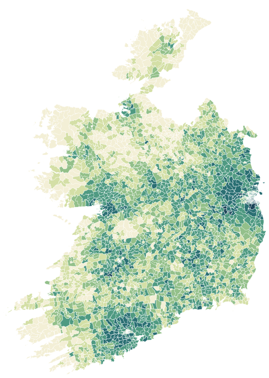
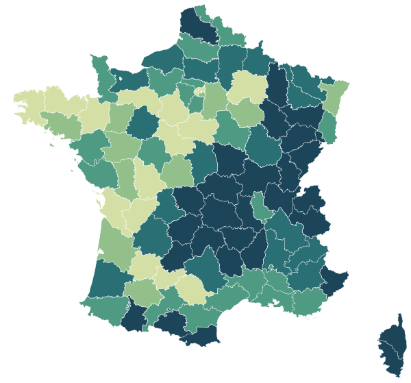
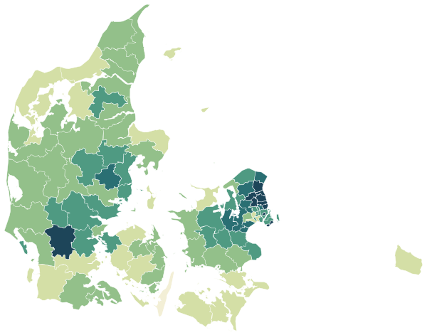
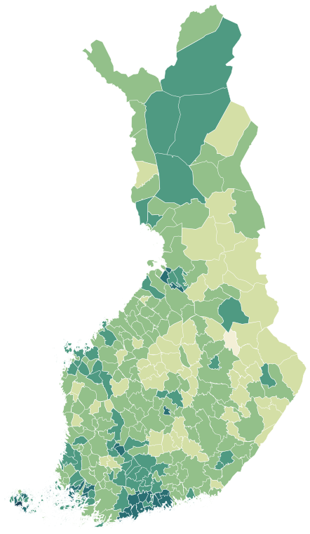
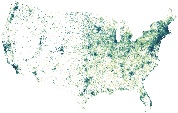
One city, four maps.
Manchester's 13,658 residential postcodes, each coloured by a different measure. Every city on PlaceDepth has the same set.
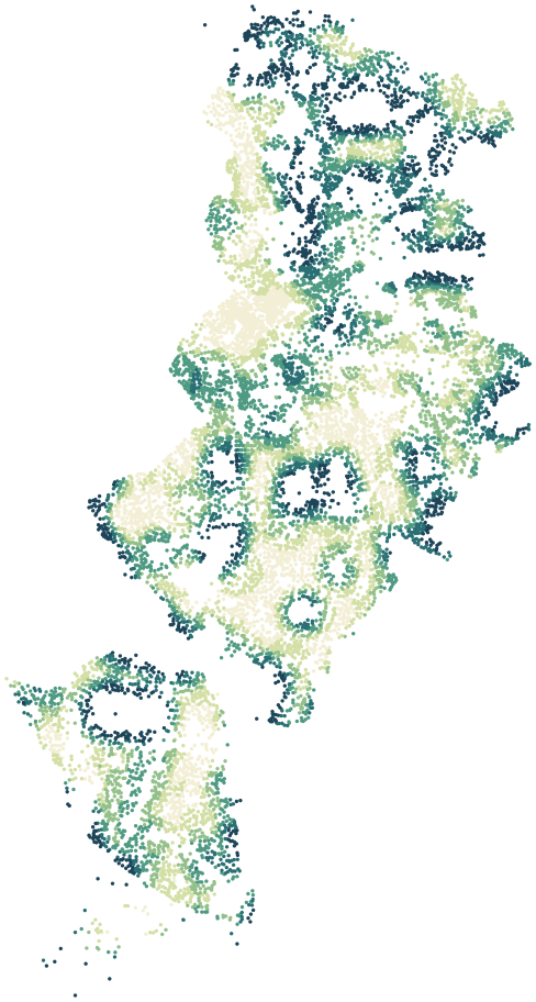
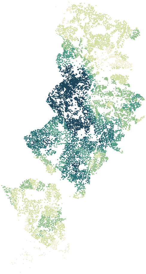
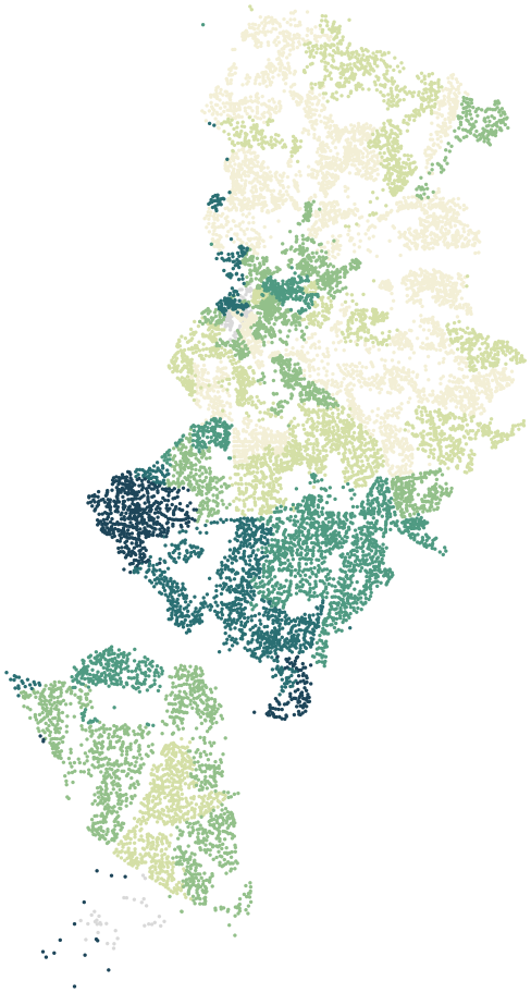
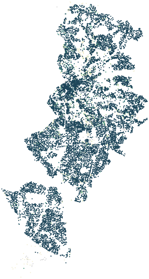
Map data © OpenStreetMap contributors · ONS Postcode Directory · HM Land Registry · Ofcom Connected Nations
Compare, line by line.
Two neighbourhoods and their city, side by side, from the same sources and the same dates.



How we work.
Three rules hold on every page, in every country.
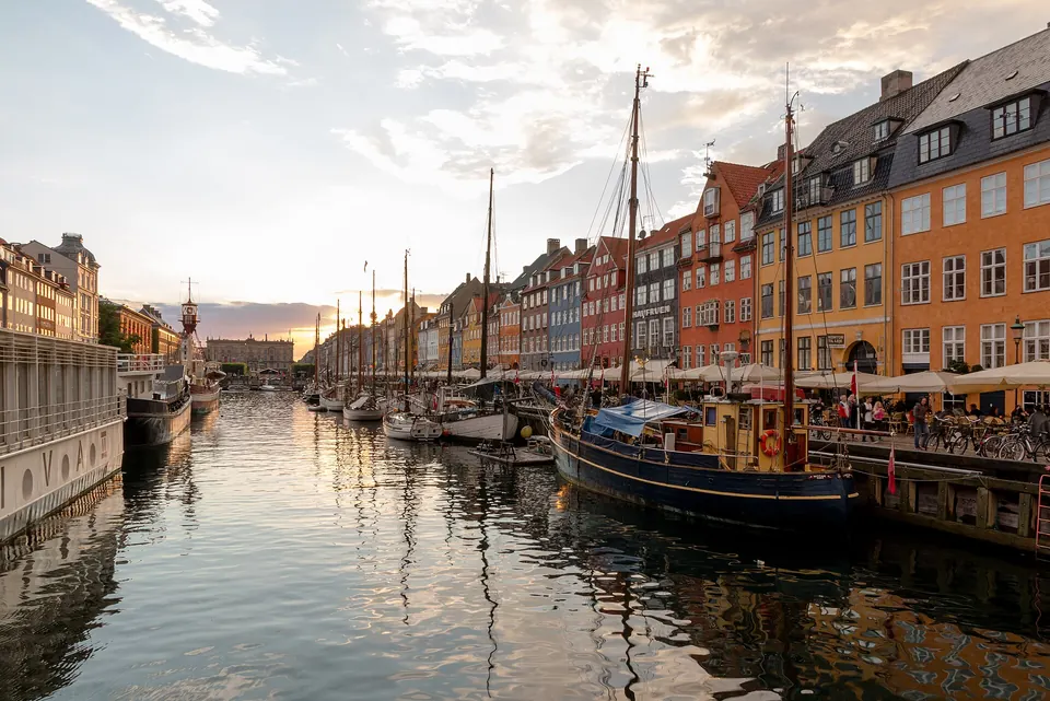
Measured, never estimated
Where no official figure exists, the page says so rather than filling the gap with a guess.
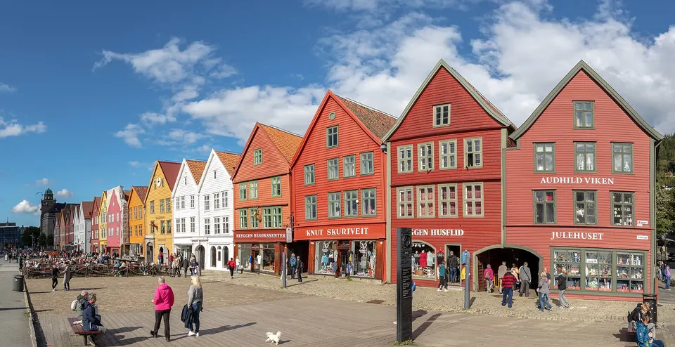
Sourced and dated
Every block names its publisher, its licence and the period the data covers.
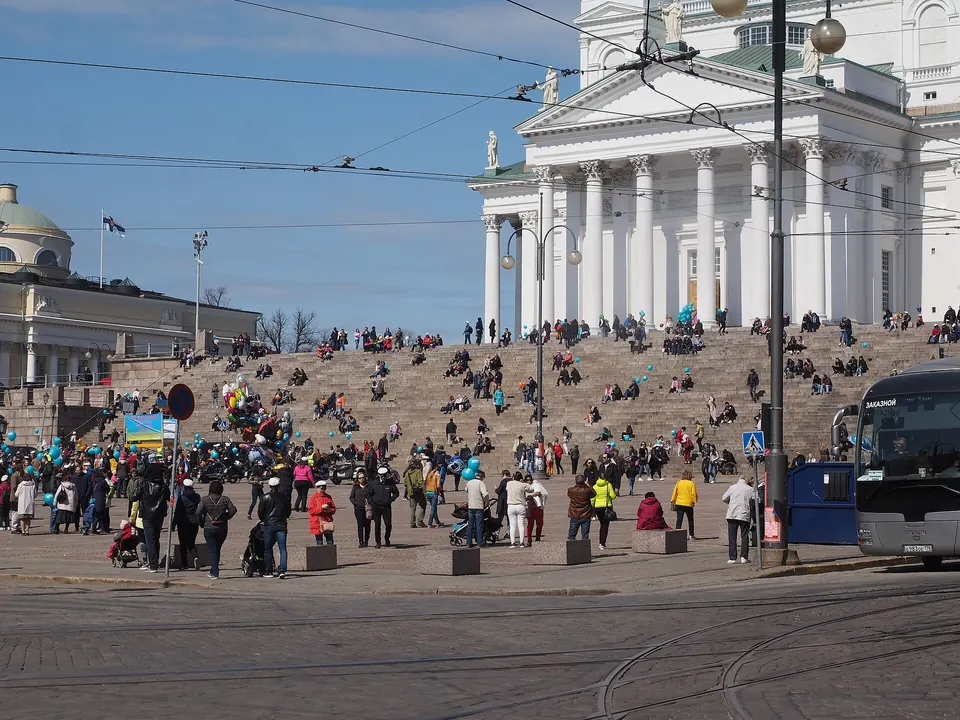
Careful with people
No figures on origin or religion, nothing about individual homes, and no lists of “worst” places.
Photographs from Wikimedia Commons: Kopenhagen (DK), Nyhavn -- 2017 -- 1447 · Dietmar Rabich · CC BY-SA 4.0 · Bryggen, Bergen, Noruega, 2019-09-08, DD 115-117 PAN · Diego Delso · CC BY-SA 4.0 · Helsinki Senate Square on May Day 2019 · JIP · CC BY-SA 4.0


