99130 Sirkka - Rauhala
Postcode area 99130 Sirkka - Rauhala had 1,369 residents at the end of 2024. Median disposable income of adults was €29,309 in 2024, 7% above the municipal level. 76% of homes were detached, semi-detached or terraced houses. From the area’s service centre, 42 everyday shops and services are within a 15-minute walk.
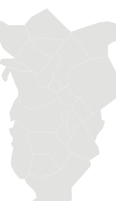
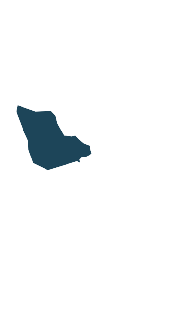
Sources: Statistics Finland, Paavo open data by postal code area 2026 (CC BY 4.0) · Statistics Finland, municipal and regional boundaries 2026 (CC BY 4.0) · © OpenStreetMap contributors (ODbL)
People.
Age at the end of 2024, next to the figure for Kittilä.
Main activity
Population at the end of each year
Source: Statistics Finland, Paavo open data by postal code area 2026 (CC BY 4.0)
Income and education.
Disposable income in 2024 and education at the end of 2024.
Education of adults
Income is the disposable money income of residents aged 18 and over in 2024: taxable and tax-free income minus taxes and contributions. The median is the middle value, so a few high earners do not pull it up.
Source: Statistics Finland, Paavo open data by postal code area 2026 (CC BY 4.0)
Homes.
685 households and 833 homes at the end of 2024.
Households by tenure
Households
Household groups overlap: young one-person households, for example, are also counted as one-person households.
Statistics Finland withholds a figure when fewer than 30 people are behind it (fewer than 10 for workplaces). Missing figures are shown as a dash and never estimated.
Source: Statistics Finland, Paavo open data by postal code area 2026 (CC BY 4.0)
Everyday life.
42 everyday shops and services within a 15-minute walk; 29% green space within 500 metres.
Services and green space are measured from each postcode area’s service centre: the point inside the area with the most shops and services within 500 metres. Municipal and regional figures are averages weighted by population.
Source: © OpenStreetMap contributors (ODbL). Within one kilometre.
More postcode areas in Kittilä.