60208
ZIP code 60208 is in Cook County, Illinois. About 255 people live here in 0 households. The average commute takes about 21 minutes.
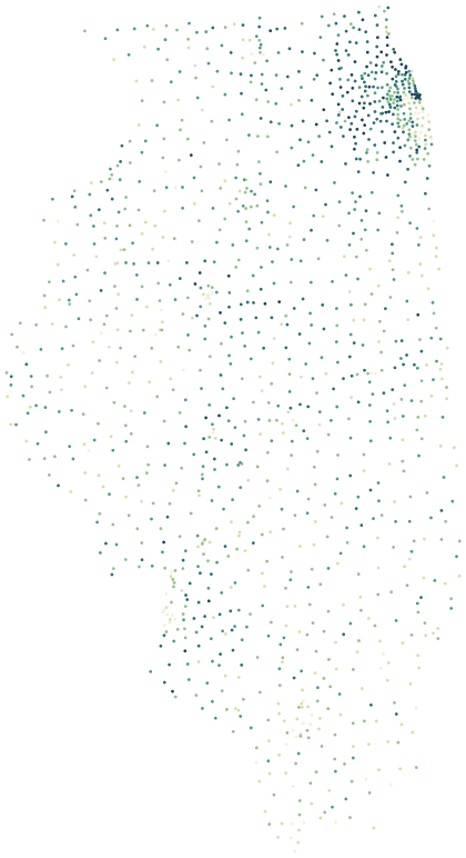 60208
Sources: U.S. Census Bureau, American Community Survey 2020–2024 5-year estimates · U.S. Census Bureau, 2024 Gazetteer and 2020 ZCTA relationship files
People.
255 residents in 0 households, next to the Cook County figure.
Source: U.S. Census Bureau, American Community Survey 2020–2024 5-year estimates
Income and work.
Household income and work, in 2024 dollars.
The poverty rate uses the federal poverty thresholds, which vary with family size. It says nothing on its own about what a neighborhood is like to live in.
Source: U.S. Census Bureau, American Community Survey 2020–2024 5-year estimates
Getting around.
How workers aged 16 and over get to work, and how long it takes.
Source: U.S. Census Bureau, American Community Survey 2020–2024 5-year estimates
Businesses in 60208.
43 business establishments with paid employees have an address in this ZIP code.
Counts are business establishments with paid employees, by the ZIP code of their address. Self-employed people without staff, and public facilities such as libraries, are not included.
Source: U.S. Census Bureau, ZIP Code Business Patterns 2023
Health.
Estimated share of adults in 60208, next to the national figure.
These are model-based estimates for adults from the CDC’s PLACES project, combining national health surveys with local population data. They are not counts of local patients, and small differences between nearby ZIP codes are within the margin of the model.
Source: Centers for Disease Control and Prevention, PLACES 2025 release (ZCTA), public domain
Nearest public schools.
In a straight line from the center of the ZIP code. Attendance zones are set by each school district.
Source: National Center for Education Statistics, EDGE public school locations 2024–25
Nearby ZIP codes.
ZIP codes here are the Census Bureau’s ZIP Code Tabulation Areas, which closely match the postal ZIP codes used for addresses.