Sulzfeld
Sulzfeld had 4,956 residents at the 2022 census, over 18.7 km². Average net rent was €6.58/m², 11% below the district average. 67.2% of homes were owner-occupied. Around the centre, 53 everyday shops and services are within a 15-minute walk.
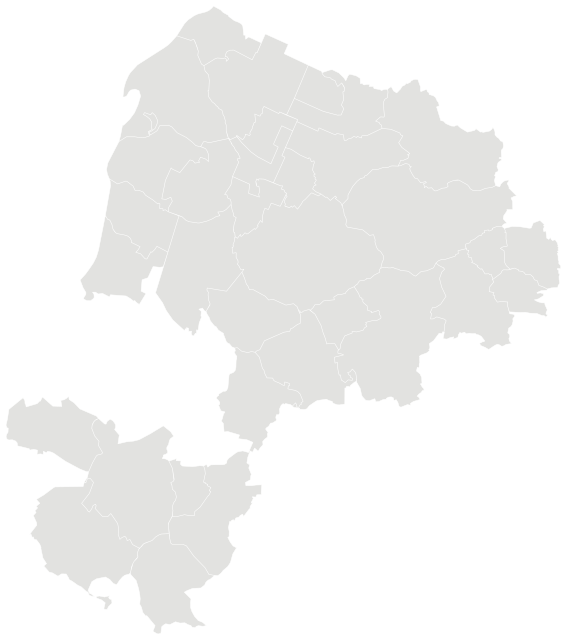

Sources: Federal and State Statistical Offices of Germany, 2022 census grid results (open data, with attribution) · © GeoBasis-DE / BKG (2023), administrative areas VG250 as of 15 May 2022, dl-de/by-2-0 · © OpenStreetMap contributors (ODbL)
People.
Age and households at the 2022 census, next to the figure for Landkreis Karlsruhe.
Source: Federal and State Statistical Offices of Germany, 2022 census grid results (open data, with attribution)
Homes.
1,482 residential buildings.
When residential buildings were built
Main type of heating
Net rent comes from the 2022 census (reference date 15 May 2022) and covers every rented home, including long-standing tenancies, so it is usually lower than the asking rents in new listings.
Figures for municipalities, districts and states are built up from the census 100-metre grid cells, with rents weighted by the number of homes. Vacancy and owner-occupation rates come from the one-kilometre grid, as they are mostly withheld in the 100-metre cells.
Source: Federal and State Statistical Offices of Germany, 2022 census grid results (open data, with attribution)
Everyday life.
53 everyday shops and services within a 15-minute walk, measured from the centre; 12% green space within 500 metres.
Source: © OpenStreetMap contributors (ODbL). Within one kilometre.
Crime in the district.
Police crime statistics are published for districts and independent cities. These figures cover the whole district (Landkreis Karlsruhe) in 2025.
| Offence | Cases | per 100,000 | state, per 100,000 |
|---|---|---|---|
| Violent crime | 484 | 106 | 175 |
| Common assault | 1,217 | 267 | 402 |
| Robbery | 88 | 19 | 29 |
| Domestic burglary | 250 | 55 | 52 |
| All theft | 4,589 | 1,006 | 1,389 |
| Bicycle theft | 527 | 116 | 162 |
| Car theft | 50 | 11 | 14 |
| Theft from vehicles | 828 | 182 | 159 |
| Shoplifting | 755 | 166 | 357 |
| Pickpocketing | 124 | 27 | 41 |
| Fraud | 2,543 | 557 | 661 |
| Criminal damage | 1,988 | 436 | 518 |
| Street crime | 2,998 | 657 | 731 |
Police crime statistics count offences that became known to the police and were fully processed by them, by place of offence. The rate relates them to the resident population, so cities with many commuters, visitors and shops show higher rates. Offences against residence and asylum law and drug offences are not shown here; drug offences mostly reflect how actively the police carry out checks.
Source: PKS Bundeskriminalamt (Federal Criminal Police Office), reporting year 2025, version 1.1 (Data licence Germany – attribution 2.0)
Nearby municipalities.