Les Balmes
Les Balmes is an IRIS neighbourhood of 2,018 residents, defined by Insee within Sainte-Foy-lès-Lyon. 33% of homes are flats and 81% of households own their home. 94 everyday shops and services are within a 15-minute walk, and 16% of the land within 500 metres is green space.
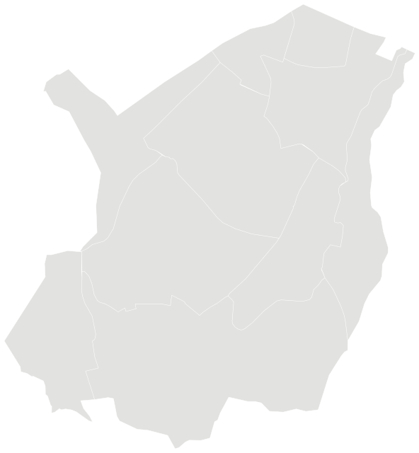

Source: IGN and Insee, IRIS boundaries and Admin Express 2024 (Open Licence 2.0)
People.
2,018 residents and 848 households at the 2022 census, next to the commune figure.
Source: Insee, 2022 population census (sub-municipal files, Open Licence 2.0)
Homes.
875 homes, 96% of them main residences, with 5.3 rooms on average.
When main homes were built
Source: Insee, 2022 population census (sub-municipal files, Open Licence 2.0)
Property prices.
1,549 house and flat sales over five years, across the whole commune.
Median prices from sales published in France’s Demandes de valeurs foncières (DVF) over ten half-years, for sales of a single property. Individual sales are not shown. A median is only given where there were at least ten sales.
Source: DGFiP property sales (DVF), data.gouv.fr statistics (Open Licence 2.0)
Income and work.
Median living standard of €28,780 a year in 2021 (Sainte-Foy-lès-Lyon: €28,780), for the whole commune.
Living standard is a household’s disposable income after taxes and benefits, divided by its consumption units. Half of residents live on less than the median. Income on its own says nothing about what a neighbourhood is like to live in.
Sources: Insee, Filosofi 2021 income data (Open Licence 2.0) · Insee, 2022 population census (sub-municipal files, Open Licence 2.0)
Safety.
Offences recorded in 2025 across the whole commune, with the rate per 1,000 residents and the change from 2024.
| Indicator | 2025 | Rate | Sainte-Foy-lès-Lyon | Change |
|---|---|---|---|---|
| Burglaries of homes | 128 | 11.9 per 1,000 | 11.9 per 1,000 | −16% |
| Thefts from people without violence | 114 | 5.3 per 1,000 | 5.3 per 1,000 | −14% |
| Physical violence outside the family | 41 | 1.9 per 1,000 | 1.9 per 1,000 | +37% |
| Domestic physical violence | 46 | 2.1 per 1,000 | 2.1 per 1,000 | +7% |
| Sexual violence | 25 | 1.2 per 1,000 | 1.2 per 1,000 | −24% |
| Vehicle thefts | 54 | 2.5 per 1,000 | 2.5 per 1,000 | +26% |
| Thefts from vehicles | 145 | 6.7 per 1,000 | 6.7 per 1,000 | +25% |
| Thefts of vehicle parts | 55 | 2.5 per 1,000 | 2.5 per 1,000 | +17% |
| Deliberate damage and vandalism | 162 | 7.5 per 1,000 | 7.5 per 1,000 | +38% |
| Fraud and payment card fraud | 212 | 9.8 per 1,000 | 9.8 per 1,000 | +12% |
These figures count offences recorded by the police and gendarmerie, not how safe a place feels, and not every offence is reported. Rates are per 1,000 residents (per 1,000 homes for burglaries): where many people visit but few live, as in town centres and shopping areas, they are naturally higher. Small counts are not published.
Source: Ministry of the Interior (SSMSI), recorded crime by municipality 2024–2025 (Open Licence 2.0)
Everyday life.
What is within one kilometre of the centre of the neighbourhood. 12 public transport stops are within 800 m, and the nearest rail or tram station is 1.7 km away.
Source: © OpenStreetMap contributors (ODbL)
Natural and industrial hazards.
Figures for the whole commune of Sainte-Foy-lès-Lyon: major hazards listed by the State, prevention plans in force and natural-disaster declarations since 1982.
Natural-disaster declarations by type
A natural-disaster declaration (arrêté CatNat) lets insurers pay out for the damage. The count reflects past events, not a forecast of future risk. The list of hazards comes from each département’s major-risk file; a prevention plan in force limits building in exposed zones.
Source: Géorisques, GASPAR database (Open Licence 2.0), as of 5 October 2026
Nearest schools.
In a straight line from the centre of the neighbourhood.
Source: Ministry of Education, school directory (Open Licence 2.0). Admission depends on catchment rules.
Other neighbourhoods.