LS8 3LG
LS8 3LG is a postcode in Gipton & Harehills, Leeds. Within a 15-minute walk there are 101 everyday services. 33% of the land within 500 metres is green space, 76% above the Leeds average. Homes in the LS8 3 sector sold for a median of £226,000, 9% below the Leeds median.
Living here.
The figures that matter most, next to the Leeds average.
Sources: © OpenStreetMap contributors, 23 Oct 2026 · HM Land Registry Price Paid Data, sales to 28 Aug 2026 · DfE Get Information About Schools, 22 Oct 2026 · Environment Agency, Risk of Flooding from Rivers and Sea, Jun 2026 · Ofcom Connected Nations, Jul 2025. © Ofcom copyright
Safety.
In the 12 months to Aug 2026, police recorded 560 crimes and incidents within 500 metres of LS8 3LG; 40% were violence and sexual offences. This is close to the average for postcodes in Leeds.
Police.uk records crimes by approximate location, not by where victims or offenders live. Busy streets, shops, stations and nightlife record more. Figures are counts, not a measure of personal risk.
Source: data.police.uk street-level crime, West Yorkshire Police, Sept 2025 – Aug 2026 (Open Government Licence v3.0)
Road safety.
Injury collisions reported to the police within 500 m of LS8 3LG, 2021–2025.
Counts include only collisions involving personal injury that were reported to the police. Most happen on main roads and at junctions, so a count near a postcode reflects the traffic passing through, not the risk of any one journey.
Source: Department for Transport, STATS19 road safety data (Open Government Licence v3.0)
Food hygiene.
Food businesses with a published hygiene rating within 500 m of LS8 3LG.
Council food safety officers rate businesses from 0 (urgent improvement necessary) to 5 (very good) for hygiene, the state of the premises and how food safety is managed. A rating reflects the standards found on the day of inspection, not the quality of the food.
Source: Food Standards Agency, food hygiene rating data as of 26 October 2026 (Open Government Licence)
People and homes.
The census output area around LS8 3LG: 347 residents in 130 households.
The English Indices of Deprivation rank 33,755 small areas from 1 (most deprived 10%) to 10 (least deprived). They describe areas relative to each other, not every household in them.
Sources: Census 2021, Office for National Statistics · English Indices of Deprivation 2025, MHCLG
Prices.
Quarterly median of standard sales in sector LS8 3 and Leeds. 178 sales in the sector over 24 months, 4 of them in LS8 3LG. Individual sales are not shown.
Source: HM Land Registry Price Paid Data, sales to 28 Aug 2026
Schools and everyday places.
The nearest schools by straight-line distance, and what is within one kilometre.
Nearest schools
Within one kilometre
Sources: DfE Get Information About Schools, 22 Oct 2026 · © OpenStreetMap contributors, 23 Oct 2026. Admission depends on each school's own criteria.
Around here.
Photographs taken near the LS8 postcode district, shared on Wikimedia Commons under free licences.

i


i


i

Where it sits in Leeds.
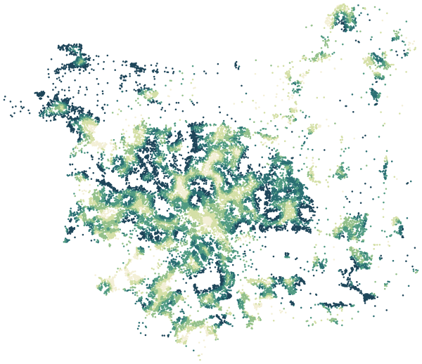
LS8 3LG is one of 20,855 postcodes in Leeds. Explore Gipton & Harehills or all of Leeds.
 LS8 3LG