North East
North East has 2,647,015 residents in 12 local authorities (Census 2021). Homes sold for a median of £175,000 over the past two years, from £145,000 in County Durham to £215,000 in North Tyneside.
2,647,015residentsCensus 2021
£175kmedian sale price67,752 sales, 24 months
20%green within 500 mpostcode average
91%gigabit broadbandpremises, Ofcom 2025
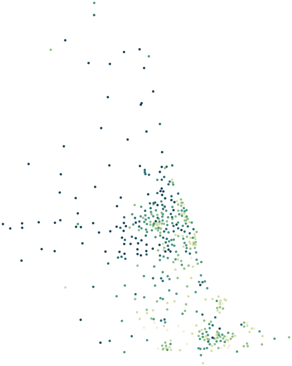
North East by postcode sector
0%30%+
Average share of land within 500 m that is green space, by postcode sector
Map data © OpenStreetMap contributors · ONS Postcode Directory · HM Land Registry · IoD 2025 · Ofcom Connected Nations
Local authorities in North East.
Every local authority has its own maps, a page for each ward and a report for every postcode. The greenest is Northumberland, with 38% of land near homes in green space.
| Local authority | Residents | Median price | Green 500 m | Services 15 min | Gigabit | Crime per 1,000 | Postcodes |
|---|---|---|---|---|---|---|---|
| County Durham | 522,068 | £145k | 21% | 29 | 84% | 124 | 16,354 |
| Northumberland | 320,567 | £209k | 38% | 28 | 82% | 81 | 13,183 |
| Newcastle upon Tyne | 300,125 | £208k | 16% | 90 | 93% | 127 | 6,724 |
| Sunderland | 274,172 | £157k | 14% | 53 | 95% | 103 | 7,207 |
| North Tyneside | 208,967 | £215k | 18% | 72 | 95% | 92 | 5,071 |
| Stockton-on-Tees | 196,595 | £180k | 16% | 51 | 95% | 152 | 5,504 |
| Gateshead | 196,151 | £165k | 18% | 75 | 91% | 98 | 5,195 |
| South Tyneside | 147,776 | £168k | 20% | 73 | 92% | 105 | 3,600 |
| Middlesbrough | 143,926 | £158k | 11% | 53 | 98% | 203 | 3,851 |
| Redcar and Cleveland | 136,531 | £168k | 12% | 30 | 92% | 139 | 4,096 |
| Darlington | 107,799 | £175k | 11% | 52 | 94% | 132 | 3,216 |
| Hartlepool | 92,338 | £156k | 10% | 65 | 97% | 174 | 2,706 |
Sources: Census 2021 (ONS) · HM Land Registry Price Paid Data, sales to 28 Aug 2026 · © OpenStreetMap contributors · Ofcom Connected Nations 2025 · data.police.uk