Yorkshire and The Humber
Yorkshire and The Humber has 5,481,402 residents in 15 local authorities (Census 2021). Homes sold for a median of £215,000 over the past two years, from £140,000 in Kingston upon Hull, City of to £307,500 in York.
5,481,402residentsCensus 2021
£215kmedian sale price137,245 sales, 24 months
16%green within 500 mpostcode average
93%gigabit broadbandpremises, Ofcom 2025
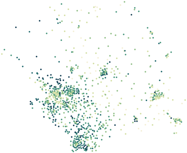
Yorkshire and The Humber by postcode sector
0%30%+
Average share of land within 500 m that is green space, by postcode sector
Map data © OpenStreetMap contributors · ONS Postcode Directory · HM Land Registry · IoD 2025 · Ofcom Connected Nations
Local authorities in Yorkshire and The Humber.
Every local authority has its own maps, a page for each ward and a report for every postcode. The greenest is Sheffield, with 21% of land near homes in green space.
| Local authority | Residents | Median price | Green 500 m | Services 15 min | Gigabit | Crime per 1,000 | Postcodes |
|---|---|---|---|---|---|---|---|
| Leeds | 811,956 | £248k | 19% | 103 | 96% | 130 | 20,855 |
| North Yorkshire | 615,411 | £270k | 15% | 16 | 81% | 68 | 23,966 |
| Sheffield | 556,820 | £220k | 21% | 83 | 93% | 119 | 11,837 |
| Bradford | 546,412 | £186k | 16% | 63 | 95% | 133 | 14,890 |
| Kirklees | 433,216 | £215k | 17% | 60 | 95% | 102 | 11,498 |
| Wakefield | 353,368 | £205k | 15% | 64 | 96% | 121 | 9,680 |
| East Riding of Yorkshire | 342,215 | £225k | 11% | 27 | 92% | 65 | 11,021 |
| Doncaster | 308,106 | £180k | 16% | 30 | 96% | 137 | 8,114 |
| Kingston upon Hull, City of | 267,014 | £140k | 11% | 75 | 100% | 142 | 5,813 |
| Rotherham | 265,807 | £195k | 18% | 37 | 97% | 116 | 6,623 |
| Barnsley | 244,979 | £180k | 21% | 40 | 89% | 111 | 6,870 |
| Calderdale | 206,631 | £194k | 20% | 56 | 80% | 118 | 7,333 |
| York | 202,821 | £308k | 17% | 83 | 91% | 96 | 5,447 |
| North Lincolnshire | 169,680 | £177k | 14% | 26 | 94% | 96 | 4,872 |
| North East Lincolnshire | 156,966 | £165k | 11% | 56 | 96% | 140 | 4,478 |
Sources: Census 2021 (ONS) · HM Land Registry Price Paid Data, sales to 28 Aug 2026 · © OpenStreetMap contributors · Ofcom Connected Nations 2025 · data.police.uk