Burnage
Burnage is one of 32 wards in Manchester, home to 18,159 people in 6,393 households (Census 2021). Homes sold for a median of £297,000 over the past two years, 17% above the Manchester median. On average 10% of the land within 500 metres of a home postcode is green space — 32% below the Manchester average.
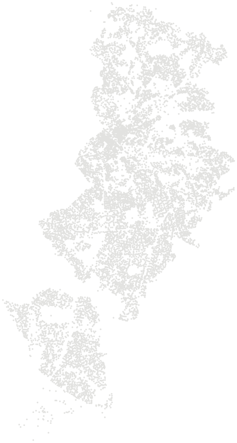
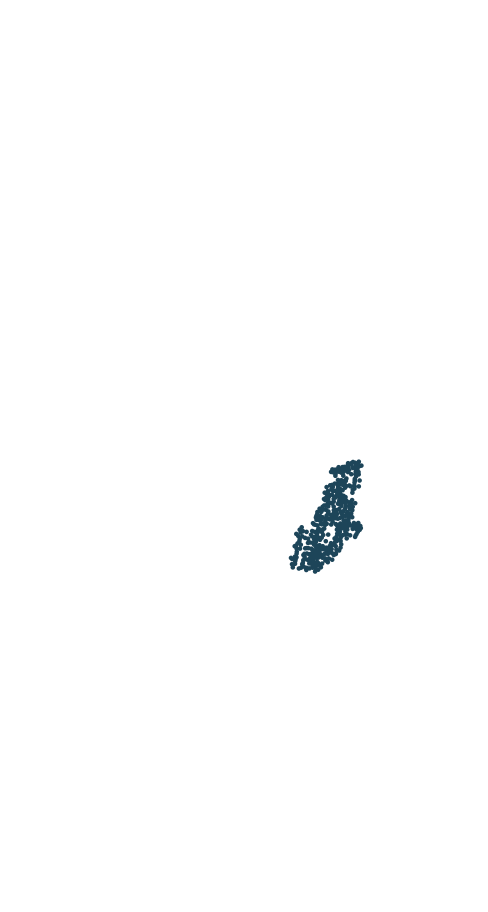
People and homes.
18,159 residents in 6,393 households, next to the Manchester average.
Source: Census 2021, Office for National Statistics
Prices.
Quarterly median of standard sales in Burnage and Manchester.
Source: HM Land Registry Price Paid Data, sales to 28 Aug 2026
Food hygiene.
Food businesses in Burnage with a published hygiene rating.
Council food safety officers rate businesses from 0 (urgent improvement necessary) to 5 (very good) for hygiene, the state of the premises and how food safety is managed. A rating reflects the standards found on the day of inspection, not the quality of the food.
Source: Food Standards Agency, food hygiene rating data as of 26 October 2026 (Open Government Licence)
Compare Burnage.
Side by side with its nearest wards, from the same sources and dates.