Whalley Range
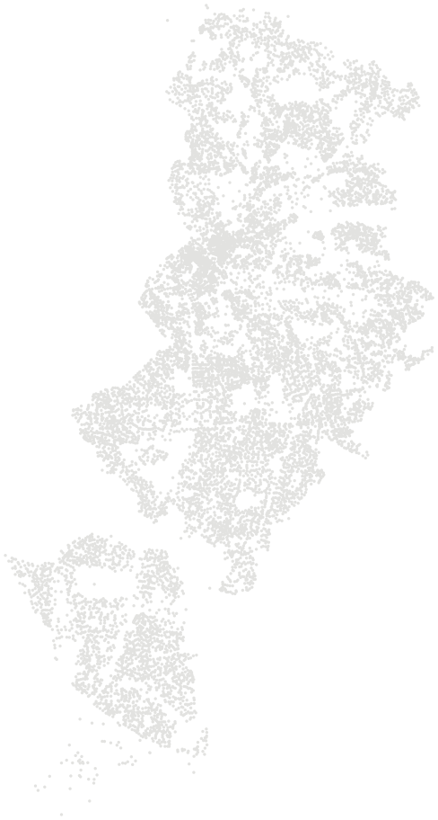
Whalley Range is one of 32 wards in Manchester, home to 15,512 people in 6,265 households (Census 2021). Homes sold for a median of £266,750 over the past two years, 5% above the Manchester median. On average 13% of the land within 500 metres of a home postcode is green space — 11% below the Manchester average.
People and homes.
15,512 residents in 6,265 households, next to the Manchester average.
Source: Census 2021, Office for National Statistics
Prices.
Quarterly median of standard sales in Whalley Range and Manchester.
Source: HM Land Registry Price Paid Data, sales to 28 Aug 2026
Food hygiene.
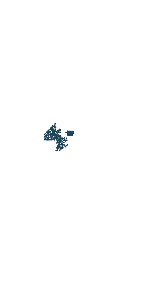
Food businesses in Whalley Range with a published hygiene rating.
Council food safety officers rate businesses from 0 (urgent improvement necessary) to 5 (very good) for hygiene, the state of the premises and how food safety is managed. A rating reflects the standards found on the day of inspection, not the quality of the food.
Source: Food Standards Agency, food hygiene rating data as of 26 October 2026 (Open Government Licence)
Compare Whalley Range.
Side by side with its nearest wards, from the same sources and dates.