Barton Seagrave & Burton Latimer
vs Thrapston
Barton Seagrave & Burton Latimer has the younger population: 17% of residents are aged 15–29, against 15% in Thrapston. Homes in Thrapston sold for a median of £300,000, 8% above Barton Seagrave & Burton Latimer. Barton Seagrave & Burton Latimer has more green space nearby (18% within 500 m, against 16%).


People
Barton Seagrave & Burton Latimer has 16,778 residents in 6,793 households; Thrapston has 14,512 in 6,139. Thrapston has the higher share of residents aged 65 and over: 22%, 3.8 percentage points more than Barton Seagrave & Burton Latimer (North Northamptonshire: 18%). Thrapston has the higher share of people living alone: 26%, 1.4 percentage points more than Barton Seagrave & Burton Latimer (North Northamptonshire: 27%).
Homes and prices
The most common type of home is semi-detached houses in Barton Seagrave & Burton Latimer (42%) and detached houses in Thrapston (44%). Barton Seagrave & Burton Latimer has the higher share of owner-occupied homes: 73%, 3.2 percentage points more than Thrapston (North Northamptonshire: 65%). Thrapston has the higher share of private renting: 16%, 4.4 percentage points more than Barton Seagrave & Burton Latimer (North Northamptonshire: 18%). Over two years, homes sold for a median of £276,975 in Barton Seagrave & Burton Latimer and £300,000 in Thrapston, against £265,000 across North Northamptonshire.
Surroundings
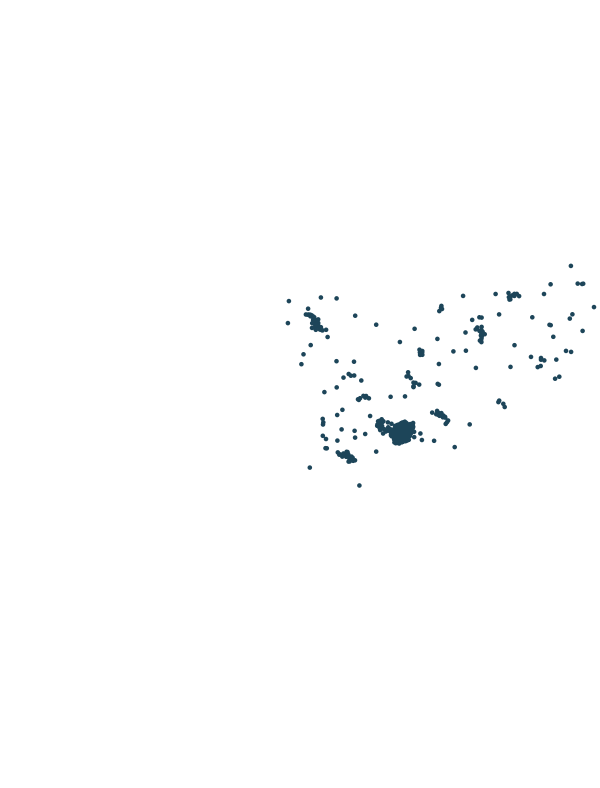
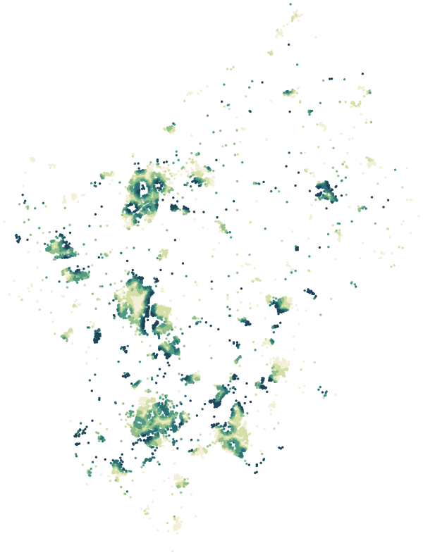
Barton Seagrave & Burton Latimer has the higher share of land within 500 m that is green space: 18%, 2.5 percentage points more than Thrapston (North Northamptonshire: 14%). A typical postcode has 42 everyday shops and services within a 15-minute walk in Barton Seagrave & Burton Latimer, and 15 in Thrapston. The typical postcode is 465 m from the nearest school in Barton Seagrave & Burton Latimer and 606 m in Thrapston. The typical postcode is 2,628 m from the nearest tram stop or railway station in Barton Seagrave & Burton Latimer and 11,686 m in Thrapston. Gigabit-capable broadband reaches 94% of premises in Barton Seagrave & Burton Latimer and 78% in Thrapston.
Safety
Over 12 months, police recorded 59 crimes and incidents per 1,000 residents in Barton Seagrave & Burton Latimer and 52 in Thrapston, against 91 across North Northamptonshire. Police.uk records crimes by approximate location, not by where victims or offenders live. Busy streets, shops, stations and nightlife record more. Figures are counts, not a measure of personal risk.
Sources: Census 2021 (ONS) · HM Land Registry Price Paid Data · official school registers · © OpenStreetMap contributors · Environment Agency · data.police.uk, 12 months to Aug 2026 · Ofcom Connected Nations
In brief.
Each ward in a few lines, from its own page.
Barton Seagrave & Burton Latimer is one of 31 wards in North Northamptonshire, home to 16,778 people in 6,793 households (Census 2021). Homes sold for a median of £276,975 over the past two years, 5% above the North Northamptonshire median. On average 18% of the land within 500 metres of a home postcode is green space — 32% above the North Northamptonshire average.
Thrapston is one of 31 wards in North Northamptonshire, home to 14,512 people in 6,139 households (Census 2021). Homes sold for a median of £300,000 over the past two years, 13% above the North Northamptonshire median. On average 16% of the land within 500 metres of a home postcode is green space — 14% above the North Northamptonshire average.
More comparisons.
Barton Seagrave & Burton Latimer and Thrapston next to other wards of North Northamptonshire.